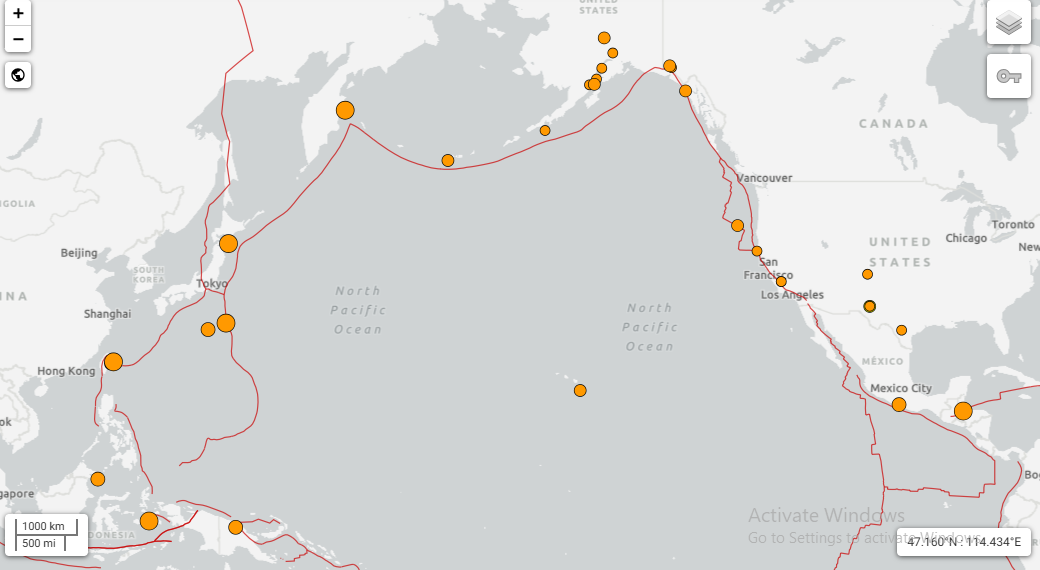
The January 2026 Mexico Earthquake once again highlighted the country’s vulnerability to strong seismic activity. The powerful tremor struck in the early hours, catching many residents off guard as buildings swayed and emergency alerts echoed across cities. A strong earthquake struck southern Mexico, sending tremors across a wide region and briefly interrupting daily life in several cities, including the capital.
Where did the earthquake happen?
According to early seismic readings, the epicenter was located near San Marcos in Guerrero state, a coastal region along Mexico’s Pacific margin. Guerrero is known for frequent seismic activity because it lies along an active tectonic boundary.
The shaking was felt not only across Guerrero, but also in Mexico City, several hundred kilometers away, where residents reported swaying lights, moving furniture, and emergency alerts sounding shortly after the quake began.
Exact time of the earthquake
- Local time (Mexico): Early morning hours of January 2, 2026
- UTC: Shortly after 06:00 UTC
Seismic monitoring agencies detected the quake within minutes, allowing alert systems to activate in major urban areas.
How strong was it?
- Magnitude: 6.3 to 6.5 (preliminary estimates)
- Depth: Shallow to moderate depth (roughly 10–35 km below the surface)
Earthquakes of this strength are considered strong and can be felt across large distances, especially when they occur at shallow depths, as this one did.
Why was it felt so far away?
Southern Mexico sits above the Cocos Plate, which is slowly pushing beneath the North American Plate. This process, called subduction, regularly builds pressure underground. When that pressure is released, energy travels efficiently through the Earth’s crust, allowing tremors to reach cities far from the epicenter.
What happened on the ground?
- Emergency alerts sounded in multiple cities moments after the shaking began.
- Buildings in affected areas swayed briefly, prompting evacuations as a precaution.
- Officials reported no immediate large-scale structural damage or tsunami threat.
- Authorities began inspections of roads, bridges, and public buildings soon after.
In Guerrero, residents described the quake as sudden and forceful, while in central Mexico it was felt as a longer, rolling motion.
Satellite and seismic monitoring
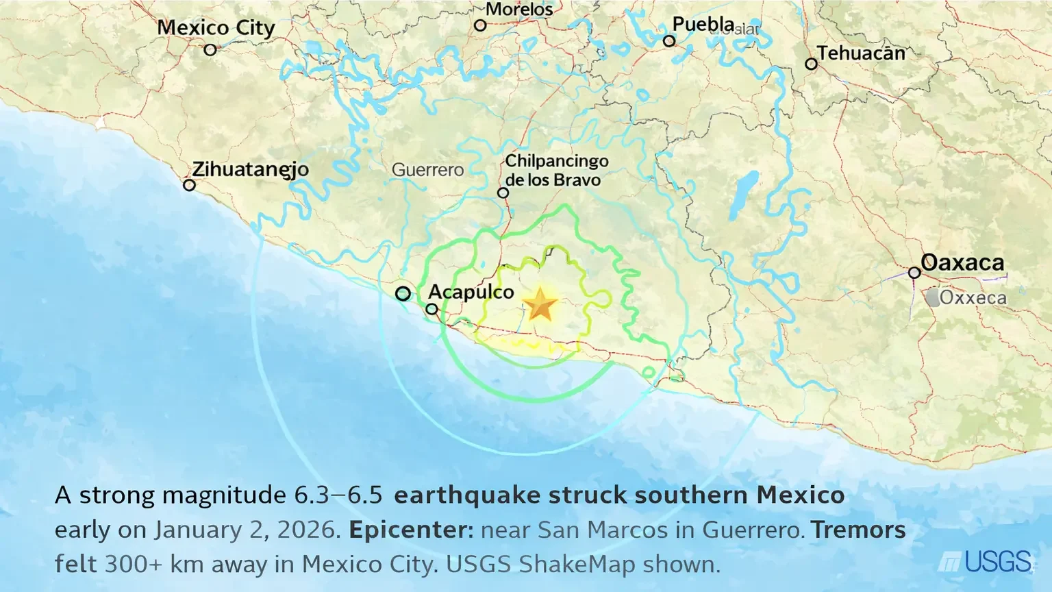
While earthquakes themselves are not directly visible from space, satellite-based systems and seismic networks help scientists map how strongly different regions shook. Organizations such as United States Geological Survey and Mexico’s national seismology services released shake maps within hours, showing the strongest impacts near the Pacific coast and lighter shaking inland.
These tools are also used after major earthquakes to assess land movement, surface deformation, and potential risks in the days that follow.
What happens next?
Aftershocks are possible in the coming days, which is common after earthquakes of this magnitude. Authorities are advising residents in affected areas to:
- Stay alert for updates
- Inspect homes for cracks or damage
- Follow official safety guidance
Final word
This January 2 earthquake is a reminder of Mexico’s high seismic risk, particularly along its southern coastline. While early reports suggest limited damage, ongoing assessments will determine the full impact. For now, emergency agencies remain on watch as the region stabilizes.