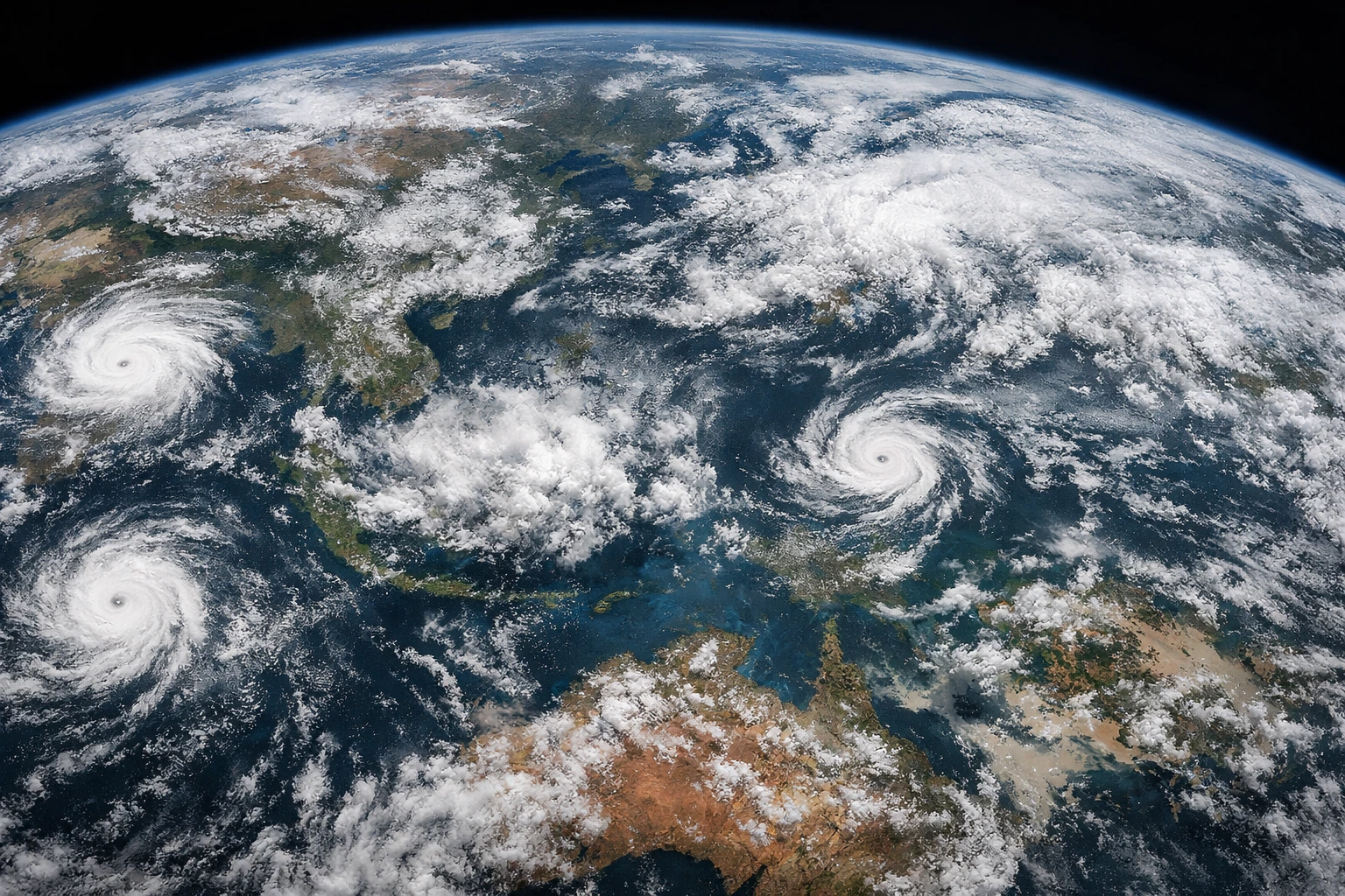
Global Cyclone Crisis January 2026 witnessed a sharp rise in extreme weather events across multiple regions of the world, as powerful cyclones, tropical storms, and severe winter systems developed almost simultaneously. From the Indian Ocean and the Western Pacific to Europe and the South Pacific, atmospheric conditions favored rapid storm intensification, resulting in widespread disruption.
Several regions reported unusually strong systems for this time of year, including tropical cyclones in warm ocean basins and bomb-cyclone-type windstorms across Europe. These events led to flooding, damaging winds, transport shutdowns, power outages, and growing concerns about public safety and infrastructure resilience.
Jenna – Indian Ocean (January 3–8, 2026)
Jenna marked one of the first significant tropical systems of January 2026 in the Indian Ocean. The storm developed over warm open waters, allowing it to strengthen steadily. Although wind speeds were high, Jenna remained mostly over the ocean and avoided direct landfall in densely populated areas.
As a result, major damage was prevented. However, shipping routes were disrupted, fishing activities were halted, and meteorological agencies treated the cyclone as an early warning sign of an active and unpredictable year ahead.
BOB 01 – Bay of Bengal Depression (January 7–10, 2026)
BOB 01 was a weak tropical depression that formed in the Bay of Bengal. While it never intensified into a full cyclone, it caused widespread rainfall across coastal and inland regions.
The slow-moving system led to waterlogging in low-lying areas, minor flooding, and temporary transport disruptions. Experts noted that even weak systems in the Bay of Bengal can be dangerous due to their ability to release large amounts of rain over a short period.
Koji – Northern Australia / Papua New Guinea (January 7–11, 2026)
Koji developed in the Australian region and reached Category-2 strength as it moved between Papua New Guinea and northern Australia. Strong winds, heavy rainfall, and rough seas prompted emergency warnings.
Authorities closed schools, activated evacuation shelters, and issued coastal alerts. Although large-scale destruction was avoided, Koji highlighted how rapidly cyclones in this region can intensify and threaten communities.
Tropical Storm Nokaen – Western Pacific (Around January 15, 2026)
Tropical Storm Nokaen formed unusually early in the Western Pacific, making it one of the first named storms of the year in this basin. The storm spent most of its life over open waters, limiting direct land impact.
Despite its moderate strength, Nokaen attracted scientific attention because early-season storms in this region are becoming more frequent—an indicator of shifting climate and ocean conditions.
Luana – Western Australia (Mid-January 2026)
Luana made landfall along the coast of Western Australia in mid-January. The most severe impacts came from intense rainfall rather than extreme winds.
Flooded roads, damaged infrastructure, and isolated remote communities were reported. Mining and transport operations were temporarily suspended. Luana demonstrated how even sparsely populated regions can face serious challenges from cyclone-driven flooding.
Dudzai – South-West Indian Ocean (January 2026)
Cyclone Dudzai was one of the stronger systems in the South-West Indian Ocean during January 2026. The storm generated powerful winds, high waves, and intense rainfall, posing a threat to island nations and parts of the African coastline.
Although the cyclone weakened before causing catastrophic land damage, it contributed to coastal erosion and marine disruption, underlining the environmental impact of powerful ocean storms.
Storm Goretti – Europe (January 6–10, 2026)
Storm Goretti was one of the most dangerous weather events of the month in Europe. Classified as a powerful bomb windstorm, it intensified rapidly as it moved in from the Atlantic.
The storm brought hurricane-force winds, heavy snowfall, and flooding across parts of Europe. Widespread power outages, transport shutdowns, and reported casualties made Goretti a stark reminder that European winter storms are becoming increasingly extreme.
Storm Chandra (Norma) – Europe (Late January 2026)
Later in January, Storm Chandra struck Europe while many regions were still recovering from earlier storms. Heavy rainfall and strong winds hit already saturated ground, significantly increasing flood risk.
Rivers overflowed, emergency services were stretched, and infrastructure damage worsened. Back-to-back storms like Chandra revealed how repeated extreme events can overwhelm even well-prepared regions.
Bomb – Europe (January 2026)
In late January 2026, a rapidly intensifying bomb impacted parts of Europe, developing over the North Atlantic before moving inland. The system brought strong winds and heavy rainfall, increasing flood risks in areas already affected by earlier storms.
Rivers overflowed, transport services were disrupted, and emergency response teams were placed on high alert. Meteorological agencies warned that the storm’s rapid development left limited time for preparation, highlighting growing concerns over the increasing intensity of winter storms in the region.
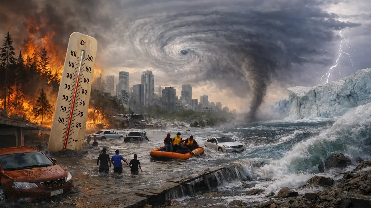
Final Thought
The storms of January 2026 were not isolated weather events. From tropical cyclones to bomb cyclones and hybrid systems, extreme weather struck multiple regions of the world almost simultaneously.
This pattern highlights a growing reality: climate-driven storms are becoming stronger, faster, and more unpredictable, turning extreme weather into a global concern rather than a regional one.


